NEW SERVICES OFFERED:
1. *Drone Surveying
*Use of drone will follow local and federal aviation guidelines. Final product will be determined by height limitations.
I will document the entire property, which is beneficial especially for Landscape Architects.
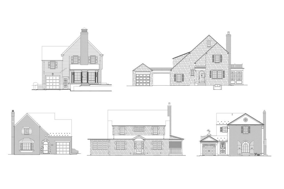
2. Pencil drawings converted to AutoCAD files. Remember all those pencil drawings you have in your office?
I can convert them into CAD drawings.
